by Tim Friday
 Anyone who has boated Clear Creek in Clear Creek and/or Jefferson Counties in the last two years probably has seen the paved trail being constructed along the creek between Idaho Springs and Mayhem Gulch. This is part of the Peaks to Plains Trail, a sixty-five-mile off-highway opportunity to travel along Clear Creek from the Continental Divide at the Eisenhower Tunnel to the confluence of the South Platte River in Adams County.
This project seemingly may be flying under the radar of the boating community, but it has been in the planning stages for over a decade and the project manager, Scot Grossman with Jeffco Open Space, has been coordinating with rafting companies operating on Clear Creek in Idaho Springs. Now that the project has progressed into the more popular kayaking stretches of whitewater, it has gotten the attention of a number of us kayakers who enjoy the whitewater from Kermit's to Golden.
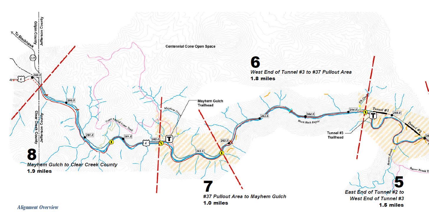
 There are eight segments comprising the trail in Jefferson County running from the canyon mouth upstream to the county line where the highway splits at U.S. Highway 6 and State Highway 119. The next segment to be designed and built (Segment 1) will start at the mouth of Clear Creek Canyon and end a few hundred yards downstream of the old diversion dam just upstream of Tunnel 1, and it is not too late to get involved.
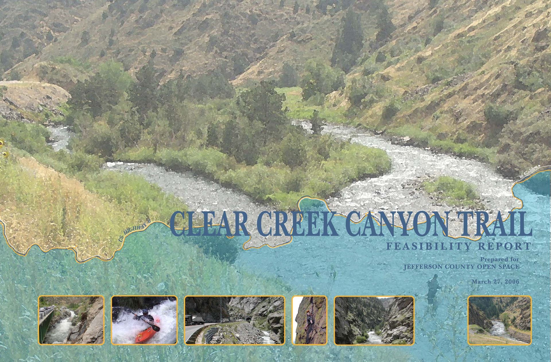
The Clear Creek Canyon Trail Feasibility Report (March 27, 2006) is available for review. This report documents the feasibility of the trail and its support facilities in light of a number of criteria: trail constructability, resource protection, visitor safety and experience, regulatory agency approval, and cost. The overall project goal is to provide a multi-use open space park and trail that accomplishes the following:
- A continuous multi-purpose trail from Golden to the Jefferson County line with Clear Creek County; an important link that will connect the Plains toward the Continental Divide and beyond;
- Support facilities including trailheads, parking lots, day-use areas, and restrooms in a number of locations up and down the Canyon;
- Continued and enhanced access for existing recreational uses such as rock climbing, whitewater rafting and kayaking, gold panning, and fishing; and,
- Trail connections to other Open Space parks, including Centennial Cone Park and Windy Saddle park.
Each segment of the trail is being constructed through a design-build process; meaning the designer and contractor are working together with the County to design and build the trail under one contract. The sequence of constructing each segment is based on priorities established by Jefferson County. The County submitted multiple grants this summer to raise funds for Segment 1. If these grants are successful, the project will be awarded to a design-build team in 2017. Construction will not commence until 2018 at the earliest though.
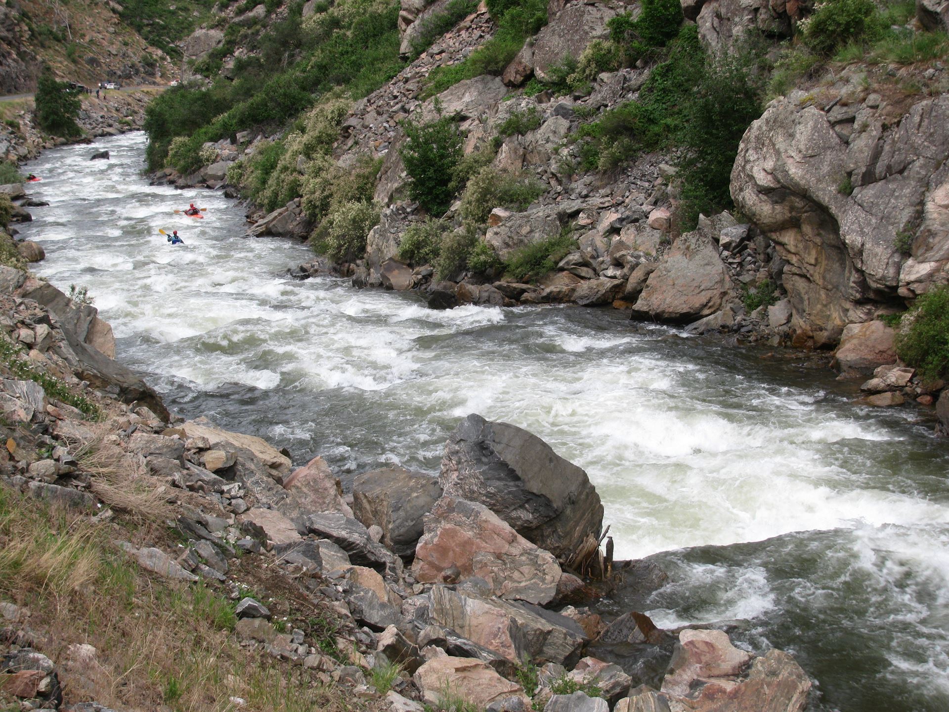
Based on a cursory review of the feasibility report, the overall impact to whitewater boating will be improved river access with safer ingress and egress points, real parking facilities, and real bathrooms at select locations. However, preserving the character of the whitewater features is also extremely important and this will be the concern of many boaters who enjoy the various stretches of whitewater in this corridor. So please help in providing constructive input to this project and look for more information from Colorado Whitewater in The Spray, through e-mails, and on the website in the near future. More information can also be found here: peaks2plains.wordpress.com.